General information
Update information
Note that this DOI has been updated by:
Fuchsberger J., G. Kirchengast, and C. Bichler (2024): WegenerNet climate station
network Level 2 data version 7.1 (2007–2023).
Wegener Center for Climate and Global Change, University of
Graz, Austria. https://doi.org/10.25364/WEGC/WPS8.0:2024.1
Please visit this link for the most recent data.
Data citation
Fuchsberger J., G. Kirchengast, C. Bichler, A. Leuprecht, and T. Kabas (2020): WegenerNet climate station
network Level 2 data version 7.1 (2007–2019).
Wegener Center for Climate and Global Change, University of Graz, Austria. https://doi.org/10.25364/WEGC/WPS7.1:2020.1
Description
This dataset
contains the latest reprocessed data record (version 7.1)
over 2007 to 2019
from the WegenerNet climate
station networks, which since 2007 provide measurements with
very high spatial and temporal resolution of hydrometeorological
variables for two regions in the state of Styria, southeastern Austria:
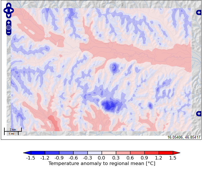
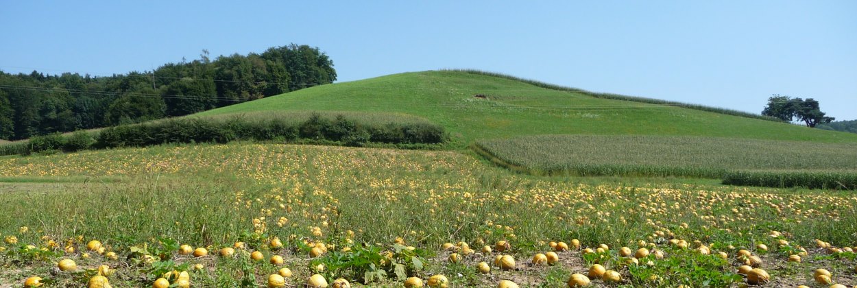
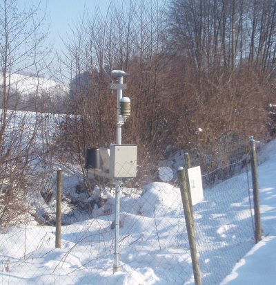
1) The WegenerNet Feldbach Region, located in the Alpine
forelands of southeastern Styria,
which extents over an area of about 22 km x 16 km and
comprises more than 150
meteorological stations placed on a
tightly spaced grid, with an average
spatial density of one station per ~2 km² and a temporal
sampling of 5 min.
2) The WegenerNet Gesäuse Region, which is a smaller "sister
network" of the WegenerNet Feldbach Region. It comprises
13
meteorological stations and
one hydrographic station
located in the
mountainous Apine region of upper Styria,
with station altitudes ranging from below
600 m to over 2100 m. The network extends over an area
of about 16 km x 17 km and data are collected with a temporal
sampling of 10 min.
These networks are long-term operated and continuously provide
quality-controlled data for
a multitude of hydrometeorological near-surface and surface variables.
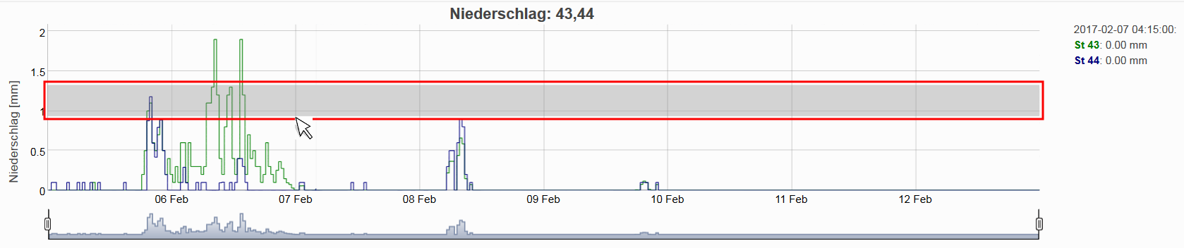
The dataset consists of station time series (as .csv files) for the parameters
listed below and
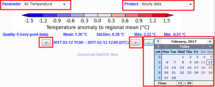
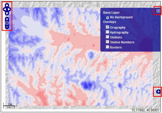
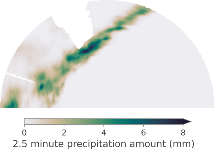
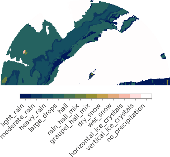
gridded data (as NetCDF files) for air temperature, relative
humidity, precipitation, heat index, wind speed and
direction, and wind gust speed and direction.
A detailed description of all measured parameters can be
found in Fuchsberger et al. (2021), see related publications below.
Related publications
Fuchsberger J., G. Kirchengast, and T. Kabas:
WegenerNet high-resolution weather and climate data from 2007 to 2020,
Earth Syst. Sci. Data, 13, 1307–1334,
https://doi.org/10.5194/essd-13-1307-2021,
2021
Kirchengast, G., T. Kabas, A. Leuprecht, C. Bichler, and H. Truhetz:
WegenerNet: A pioneering high-resolution network for monitoring weather and climate.
Bull. Amer. Meteor. Soc., 95, 227-242,
https://doi.org/10.1175/BAMS-D-11-00161.1,
2014
Parameters
Air temperature, relative humidity,
precipitation, wind speed and direction, wind gust speed and
direction, soil moisture and temperature,
air pressure,
net radiation, global radiation, reflected radiation,
snow depth, snow water equivalent, snow temperature,
surface temperature,
water level, water discharge, water flow velocity.
Keywords
Meteorology, climatology, hydrology, climate change.
Publisher
Wegener Center for Climate and Global Change, University of Graz,
Austria.
Date
2020-03-15
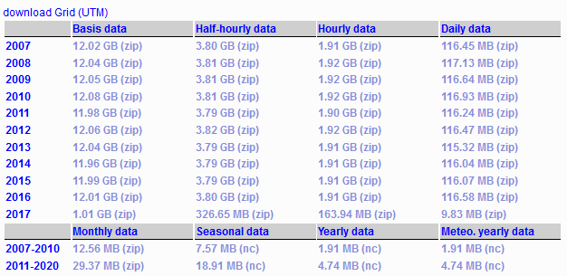
Data download
For full access to the data please
Log in here
or register at the
Registration
section of this site.
Why must I register?
Your WegenerNet login helps the WegenerNet team to better
understand the usage of its data and
services. WegenerNet data are openly
available to all and free of charge except for commercial
usage.
Station time series data (.csv)
Cloud access
The complete station time series data can be downloaded at the
Gridded data (NetCDF) and auxiliary data
Web interface
All gridded data records and auxiliary data such as Digital
Elevation Model (DEM) data, landuse/landcover data,
and hydro-pedological soil characteristics can be downloaded
at the
Grid data download
section of this page in NetCDF format.